About Manigango
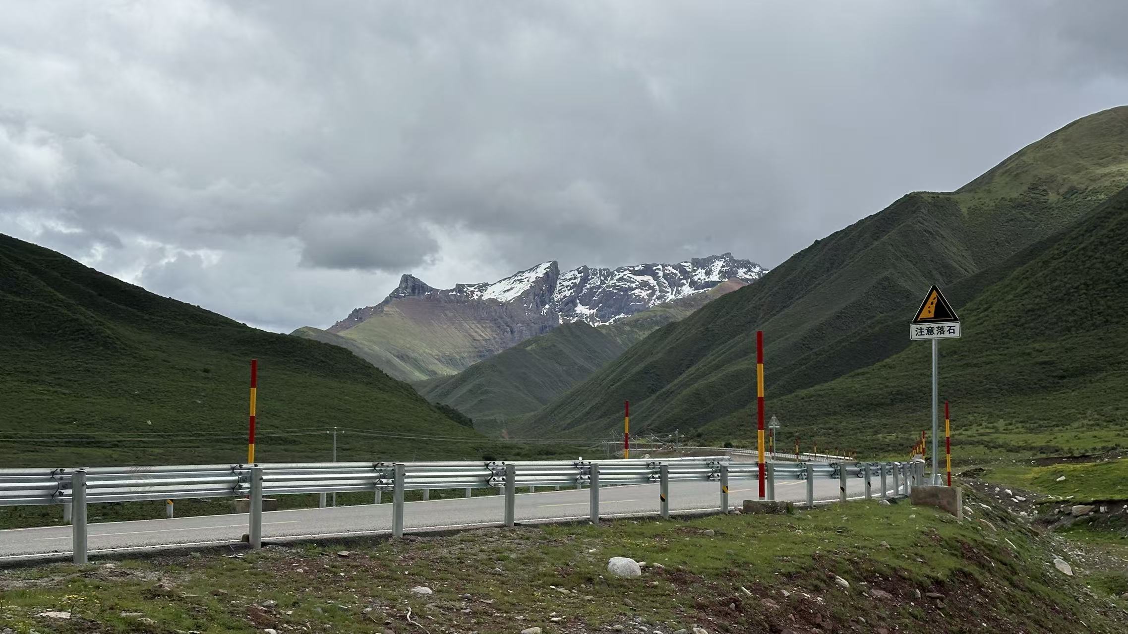
This is a town that grew and gathered itself out of the plateau's depths — wide and abundant, like a piece of the earth set aside. The rift valley has been pulling apart here for millions of years, giving its people their plains, grasslands, and rivers. The land is also dense with mountains and lakes, with forests, exotic flowers, insects, birds, and rare wild animals all thriving here. The mysterious valleys hide here, like creases in the body of the earth, so deep that even the locals have rarely walked them all.
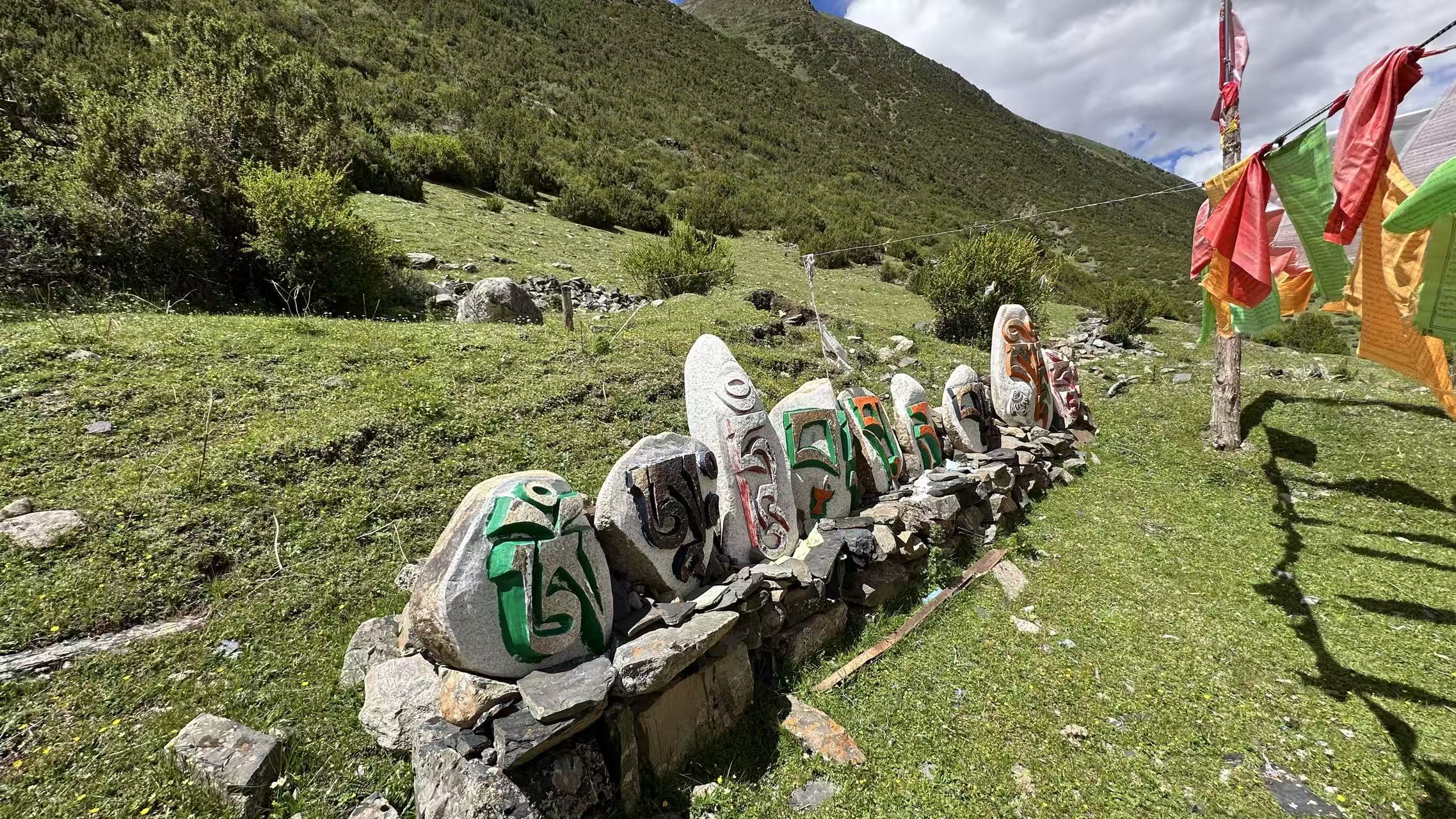
Here, what you find in abundance are places without fences, tickets, or tour maps — only the long sweep of mountain ranges, racing rivers, vast starry skies, and people whose way of life has not changed in a thousand years.
The hidden places aren't far away — they're in these unnamed corners.
— Achuo
Unique to Manigango
A history of its own
Perhaps harsh, but also romantic
From pure nomadism to seasonal migration
The people of Dêgê County, where Manigango sits, have traditionally been nomads. In the past, this was a purely pastoral land — herders moved with the seasons in a practice called zhuǎnchǎng (转场): in summer they drove their yaks into the valley and gorge areas; in winter they took them up to the high mountains. People and animals migrated together between pastures, living the nomadic life.
"Fixed houses built from bark"
Eventually, a few families began to build fixed wooden houses at what is now the town site, using bark as a material. This kind of dwelling is known in local architecture as a bengkong (崩空), and is found mostly in the Dêgê region. With its high altitude and harsh climate, the early bengkong were typically single-story — simple boxes that looked like matchboxes from the outside. These unadorned, ancient buildings are the earliest form of dwelling on the Qinghai-Tibet Plateau.
From pasture to town
In ancient times, Manigango was an important way station and trading hub on the Tea-Horse Road. The Qinghai-Sichuan highway was built through here in 1946, and the Sichuan-Tibet highway followed in 1950 — making the town a crossroads between Sichuan, Qinghai, and Tibet. As transportation improved and trade gathered, the once-mobile yak-hair tents gradually gave way to markets, inns, and permanent homes. People began to settle. And so Manigango slowly transformed from a pure pastoral land into the small town it is today.
Get to know Manigango · Three Doors
Three angles
Open any card to enter Achuo's view
One · Wild environment
Wildness and nature
Manigango's wildness is written into every mountain, every river, every stretch of grassland. Snow peaks, glaciers, alpine pastures, deep valleys — more unnamed corners than named attractions.
See detailTwo · Local people
Lifestyle and survival
Town days, nomadic life on the open range, religious rhythms, cordyceps and yaks — and the philosophy that holds it all together.
See detailThree · Four seasons
Seasons, and what to experience
Spring digging cordyceps, summer flower seas, autumn hills ablaze, winter harsh but alive — locals move with the pastoral year.
See detail① Where in China
Manigango on the map of China
Far northwest of Sichuan · eastern Dege County · 3,880 m elevation
Chengdu → Manigango ≈ 750 km (straight-line ≈ 650 km)
② Routes to Manigango
Chengdu to Manigango
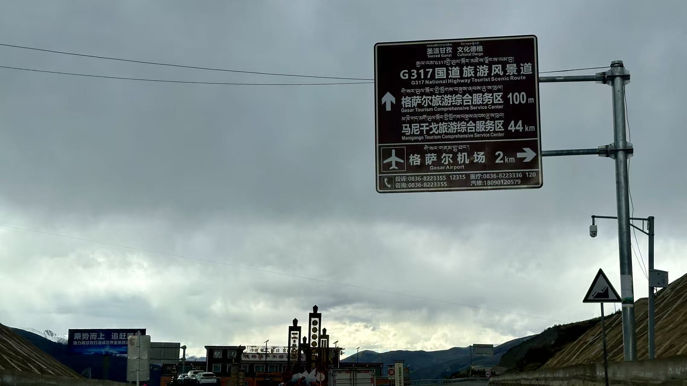
Along Highway 317 (Northern Route) heading west · ≈ 750 km · stunning scenery all the way
Blue line = actual G317 driving path (OSM) · Orange dashed = flight path (Chengdu → Gesarar Airport)
How to get there
Three ways to reach Manigango
From Chengdu, about 750 km · fly, drive, or take the bus — your call
Plane · Fastest
Chengdu Tianfu Intl. (TFU) → Gesarar Airport (GZG)
- Gesarar Airport GZG
Elevation 4,068 m - ≈ 50 km from Manigango (~1 hr drive)
- Flight time ≈ 1 hr 10 min
- Direct flights from Chengdu
Arrange ground transport in advance. Schedule varies by season — check current flights before booking.
Drive · Most freedom
Chengdu → Hwy 317 north → Manigango
- Kangding 康定 · Zheduo Pass · "Paoma Mountain"
- Tagong 塔公 · Muya Golden Pagoda · Mt. Yala
- Dawu 道孚 · "Bongke" Tibetan houses (best in Kham)
- Luhuo 炉霍 · Xianshuihe wetland · Kasa Lake
- Ganzi 甘孜 · Yalong River gorge · Ganzi Monastery
- Manigango 马尼干戈 · grassland edge · Mt. Chola
Allow 2–3 days. Best: May–Jun and Sep–Oct. Jul–Aug = rain + landslides. Winter roads icy.
Bus · Easiest
WeChat mini-program + bus stations
- Search the "川藏出行" mini-program on WeChat
- Chengdu Xinnanmen / Chadianzi stations
- Can hop: Chengdu → Kangding → Ganzi → Manigango
- Usually 1–2 buses/day, schedules change
Charter / shared vans (3–5 pax) are also common. Peak season: book 2–3 days ahead.
On the road
What Highway 317 actually looks like